Open House: The Maps of Lewis and Clark
By Lewis And Clark Boat House/Discovery Expedition
St Charles, MO 63301
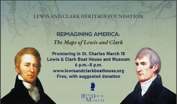
Join us at an open house to preview a new national exhibition on Lewis and Clark’s maps
Join us to welcome “Reimagining America: The Maps of Lewis and Clark,” a traveling exhibit from the Lewis and Clark Trail Heritage Foundation on its second stop on a national tour.
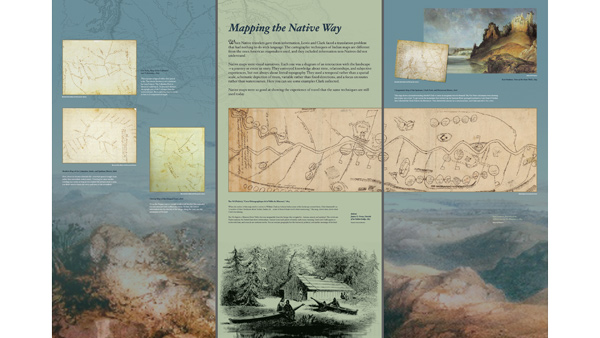
This traveling exhibit—coming to the Lewis and Clark Boat House and Museum March 15-April 26—uses large-scale reproductions of historic maps, photos, and explanatory text to show how America looked before the journey of Lewis and Clark, and what it looked like after.
In 1804–06, Meriwether Lewis and William Clark led an expedition from the Mississippi to the Pacific. Their primary goal: to reveal the geography of the West. Using cutting-edge scientific techniques and methods as old as humanity, they created a new portrait of America so persuasive we still recognize it today.
This exhibit shows how they did it.
Exhibit Contents
The maps of Lewis and Clark
In 1803, Native people knew the West, but Americans could only speculate.
The Race to Map the West
British cartographers had drawn ahead, and America needed to catch up. Thomas Jefferson had an answer.
How Did They Find Their Way?
Lewis and Clark started by collecting information from people who had been there before.
Making Maps the Native Way
Native cartographic traditions reveal an older geography.
Making Maps the Scientific Way: Astronomical Observation
They measured the stars with precision instruments.
Making Maps the Practical Way: Dead Reckoning
Low-tech methods filled in the details
Revising the Continent
Their maps changed the future of America
Interested in hosting a reception or being a sponsor of the Exhibition? Contact director@lewisandclarkboathouse.org or call us at (636) 947-3319.
Need help? Email support@givelively.org

© Give Lively LLC 2026. All Rights Reserved.